New Zealand’s Southern Lakes can feel built for big expeditions, but you don’t need a tent or a week of logistics to reach memorable alpine country.
From Queenstown, Wānaka, Glenorchy and Lake Hāwea, several tracks climb quickly from lake roads and town edges into terrain that feels far more remote than the approach suggests.
It’s worth knowing the local language before you go. In New Zealand, hiking is tramping, and even the day routes deserve proper mountain respect.
At a glance
- The Southern Lakes offer serious day hikes from Queenstown, Wānaka, Glenorchy and Lake Hāwea without needing overnight gear.
- Highlights include Roys Peak, Rob Roy Glacier, the Routeburn Track day section, Ben Lomond and Breast Hill.
- Most routes require early starts, solid footwear, extra water and close attention to fast-changing mountain weather.
Wānaka routes with a major alpine payoff
Roys Peak is the Southern Lakes walk many travellers recognise before they can name it.
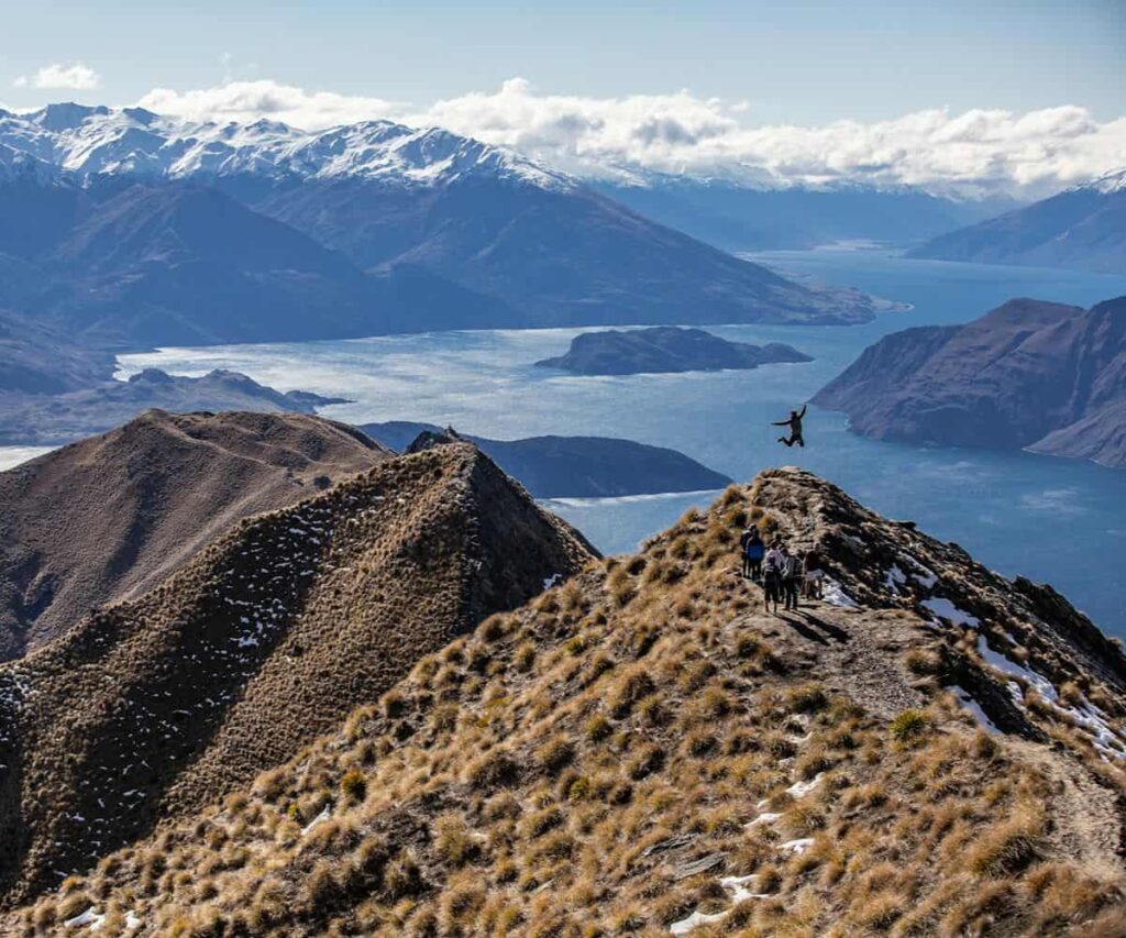
The track rises from near Lake Wānaka to a high ridgeline with broad views over the lake, surrounding ranges and, in clear weather, Mount Aspiring to the northwest.
It’s a demanding day rather than a casual stroll, with a return time of about six hours and a car park that can fill early.
A pre-dawn start is popular for a reason, as the ridge gives you one of the region’s most cinematic sunrise viewpoints.
The route is open and exposed, so sun protection and more water than you think you’ll need are sensible in every season.
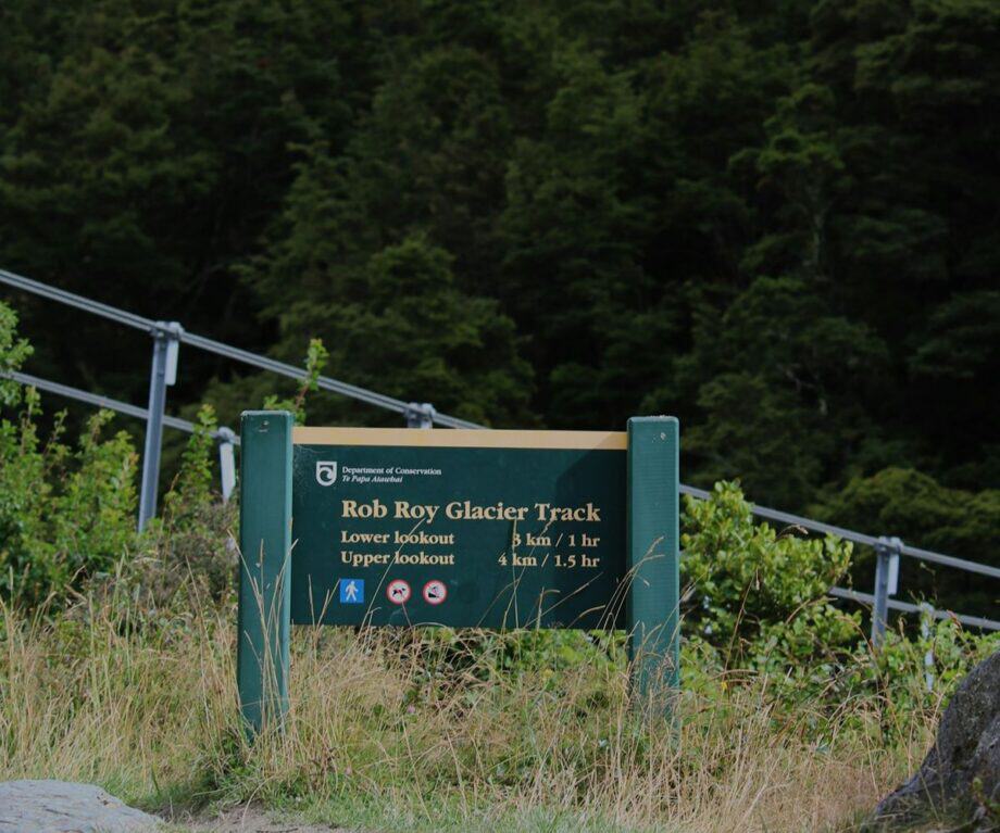
For something with a different texture, Rob Roy Glacier sits about an hour’s drive from Wānaka in Mount Aspiring National Park.
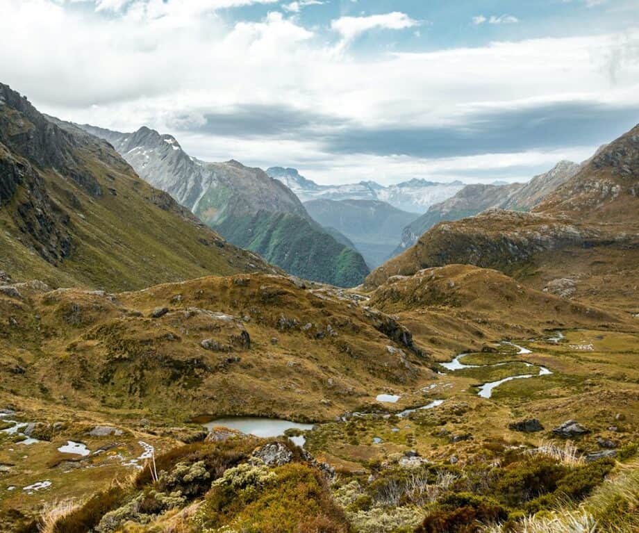
The walk runs through red and silver beech forest towards a glacier suspended above a natural amphitheatre, with waterfalls dropping from the ice throughout the year.
The Matukituki Valley drive is part of the experience, following the river past deer country, riverbed views and the main divide ahead.
The track is graded intermediate and maintained, but it shouldn’t be treated lightly, particularly when the weather can shift quickly beyond town.
Queenstown and Glenorchy tracks for a full day out
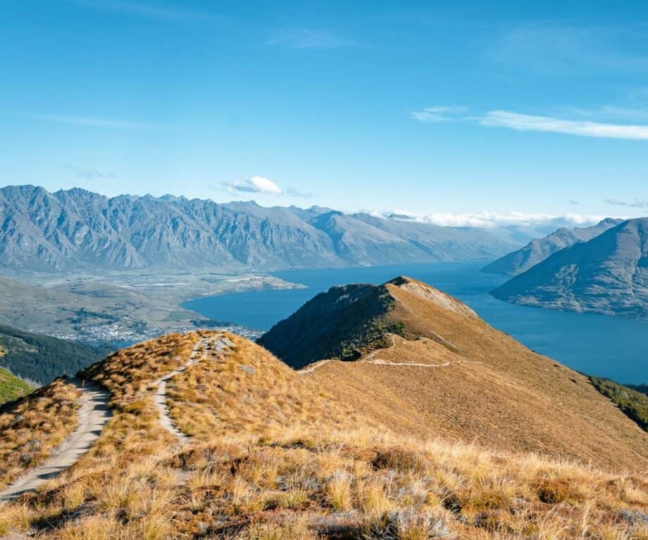
Ben Lomond is the mountain that dominates Queenstown’s skyline, visible from town and from Lake Wakatipu in almost every direction.
The standard day route uses the Gondola to gain the ridgeline before continuing on foot to the summit, taking around five to six hours return from the top of the Gondola.
Starting from town adds considerably more time and effort.
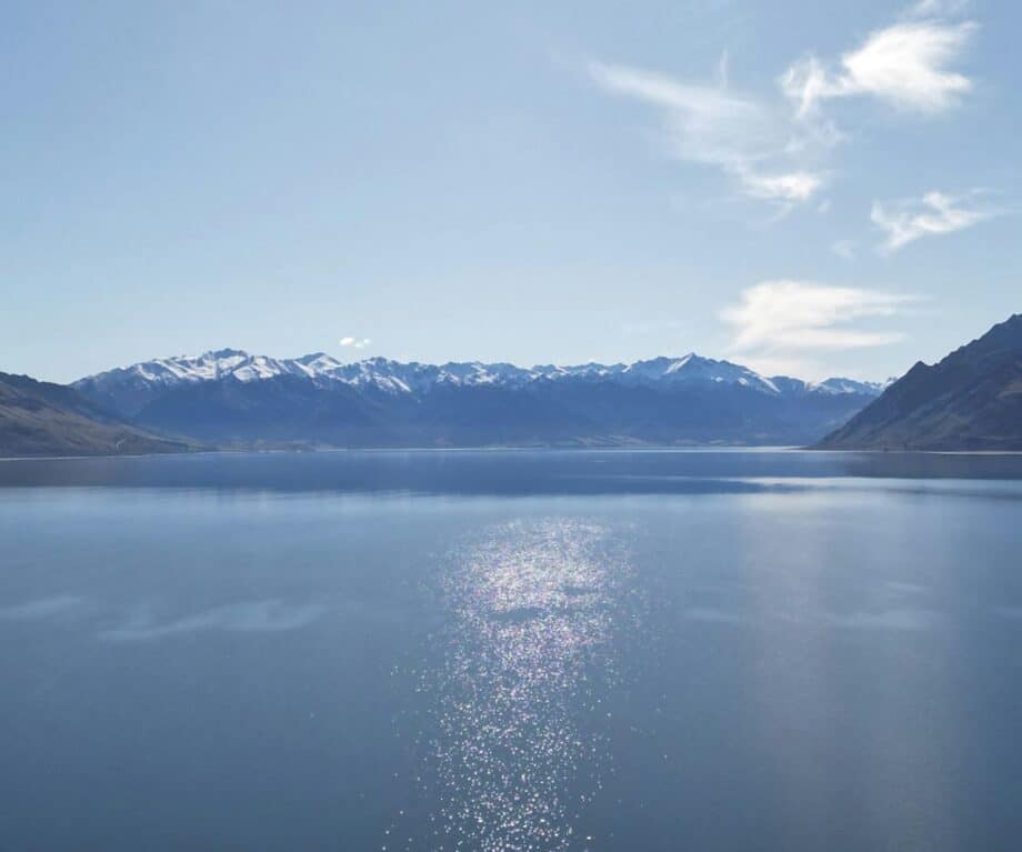
From the summit, the view takes in Lake Wakatipu, Cecil Peak, the Remarkables and the Crown Range, which explains why the climb has become a Queenstown benchmark.
It’s a significant but manageable objective for fit first-time trampers, provided the forecast, cloud level and daylight hours are taken seriously.
The Routeburn Track offers a different kind of day, giving walkers a taste of one of New Zealand’s Great Walks without committing to the full two-to-four-day crossing.
From the Glenorchy trailhead, about 45 minutes by road from Queenstown along Lake Wakatipu, the first section can be walked as an out-and-back day route.
The track climbs through beech forest above the Routeburn River towards Routeburn Flats, then onwards to Routeburn Falls for those with the time and fitness.
Reaching the Falls Hut and returning takes around six hours, while the alpine section beyond belongs to an overnight itinerary.
From late spring to early autumn, expect company on the trail and allow time to sort parking at the trailhead.
Breast Hill and the quieter Lake Hāwea option
Breast Hill sees fewer visitors than the headline routes, which is part of its appeal.
The track begins near Lake Hāwea township and climbs above the eastern side of the lake to a summit with views over both Lake Hāwea and Lake Wānaka.
On a clear day, the narrow isthmus between the two lakes is laid out with the sort of clarity that makes the climb feel neatly justified.
It’s a full-day return and steeper than it can appear on a map.
The upper section crosses open tussock, with wide, exposed views that reward a calm forecast and an early start.
The drive from Wānaka to the trailhead takes about 20 minutes and follows a lake road many visitors to the area never properly explore.
Planning a Southern Lakes day tramp
The defining pleasure of day hiking here is the contrast between accessibility and scale.
You can leave after breakfast, climb into genuine mountain country, and still be back for dinner in Queenstown or Wānaka.
That convenience can be misleading, because the Southern Lakes sit in terrain where weather changes quickly and exposed ridgelines offer little shelter.
Summer afternoon thunderstorms can build with little warning, and the safe window between a fine morning and a deteriorating afternoon can be shorter than many visitors expect.
Starting early helps with parking and crowds, but more importantly it gives you a better chance of being off high ground before conditions turn.
For anything beyond the day sections, huts on longer routes such as the Routeburn require bookings through the Department of Conservation or private hut operators.
For the day walks, good boots with grip and ankle support are a better choice than casual trainers once you’re above the valley floor.
Carry extra food, fuel and water, check the forecast before leaving, and treat track gradings as practical guidance rather than decoration.
The reward is a rare travel equation, where glacier views, ridgelines, beech forest and big lake panoramas are close enough for a day, yet substantial enough to feel like the centre of the trip.