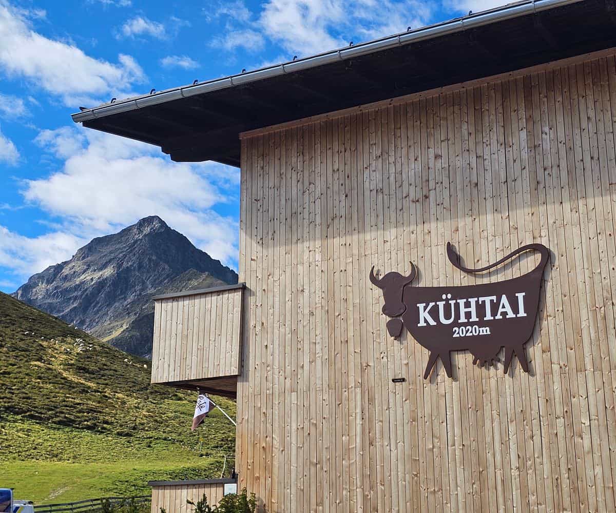
Kühtai is best known as a winter resort, but its summer character is just as compelling.
High above Innsbruck, the Three Lakes Circuit turns the ski landscape into a compact alpine walk of tarns, meadows, rocky crests and wide-open views across the Sellraintal valley.
It’s the kind of route that suits travellers who want proper mountain atmosphere without committing to a long expedition.
At a glance
- The Three Lakes Circuit is a circular summer hiking route from Kühtai, reachable by bus from Innsbruck.
- The walk links Hirschebensee, Unterer Plenderlessee and Oberer Plenderlessee, with a refreshment stop possible at Drei-Seen-Hütte.
- Expect roughly 7 kilometres, about 300 metres of elevation gain and a typical suggested walking time of 3 to 3.5 hours.
From Innsbruck to a high-alpine trailhead
The approach is part of the appeal.
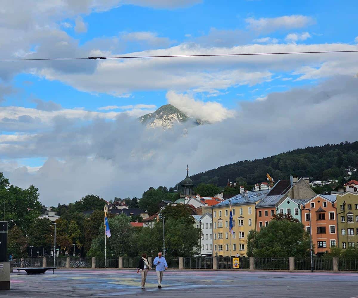
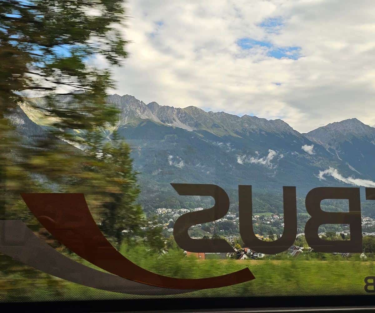
Buses run from Innsbruck Hauptbahnhof to Kühtai, climbing out of the city and into a landscape of steep valleys, alpine ridgelines and changing weather.
Even before reaching the trail, the mountains set the tone, with the Nordkette and the Karwendel Alps giving way to the higher terrain around the Sellraintal.
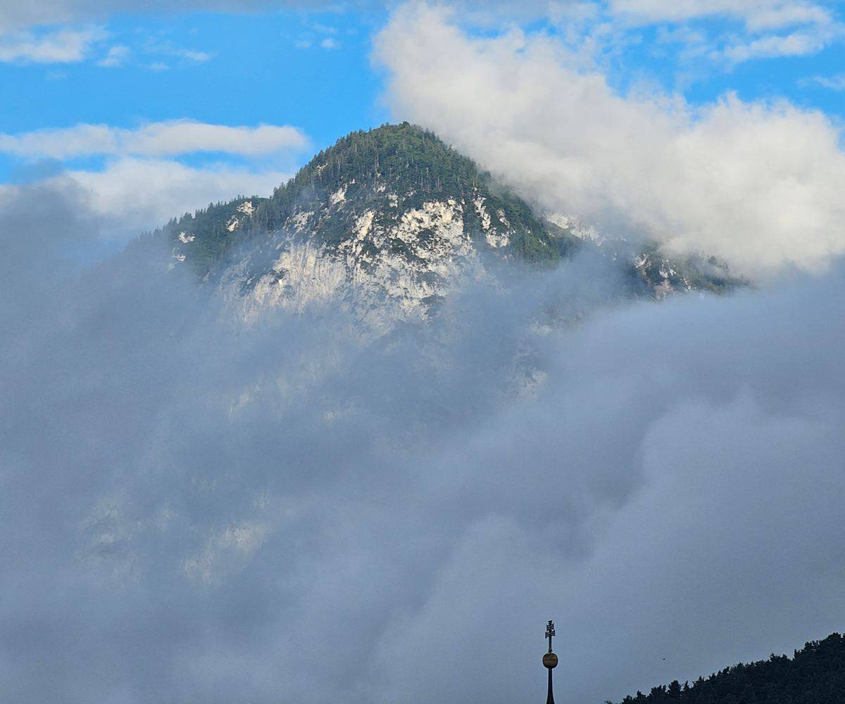
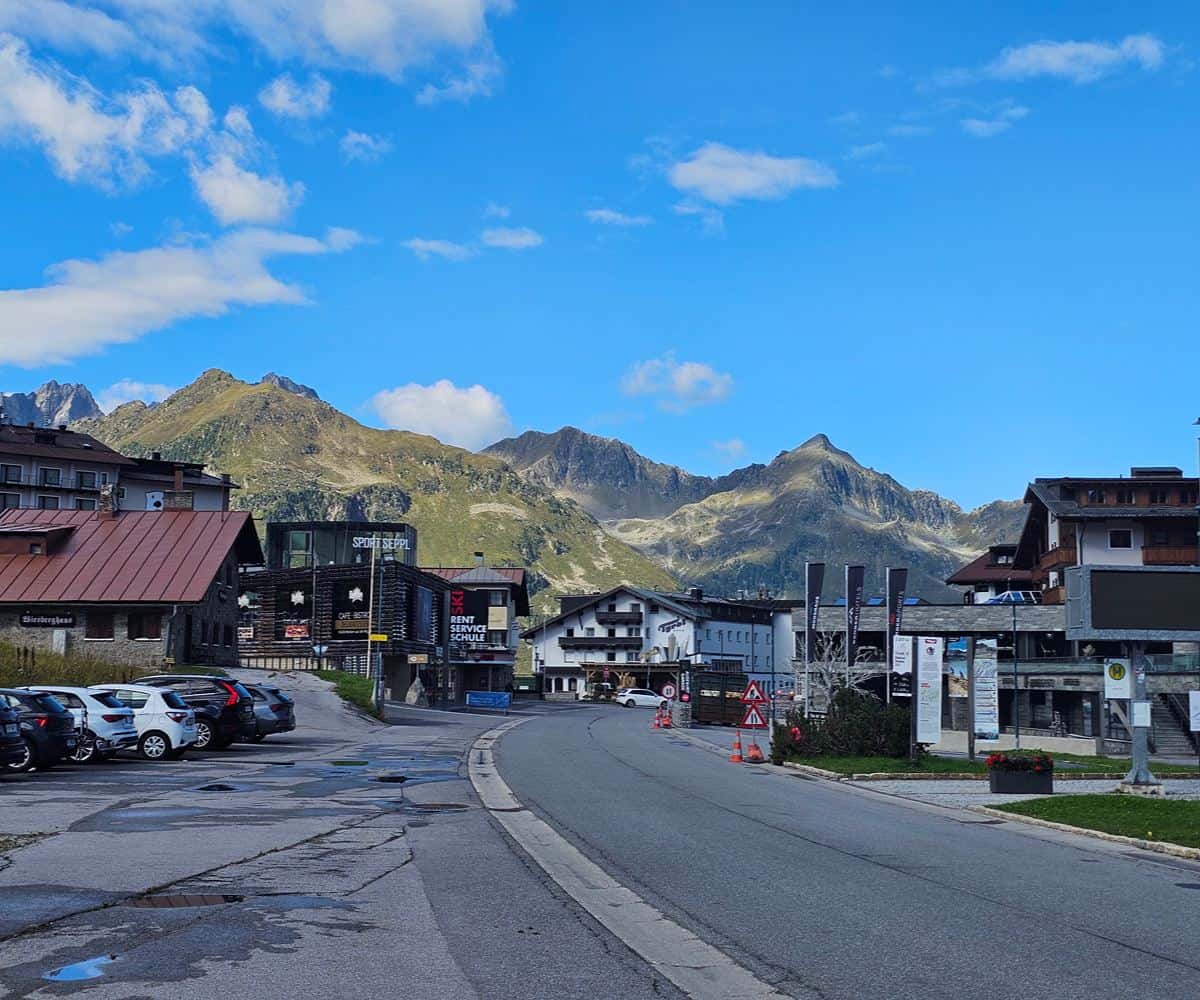
Kühtai itself sits in a dramatic bowl, and in summer the resort feels markedly different from its winter identity.
Where snowshoe routes and avalanche awareness define colder months, the warm season brings green slopes, open paths and a more relaxed way to read the valley.
Three lakes, one clear mountain loop
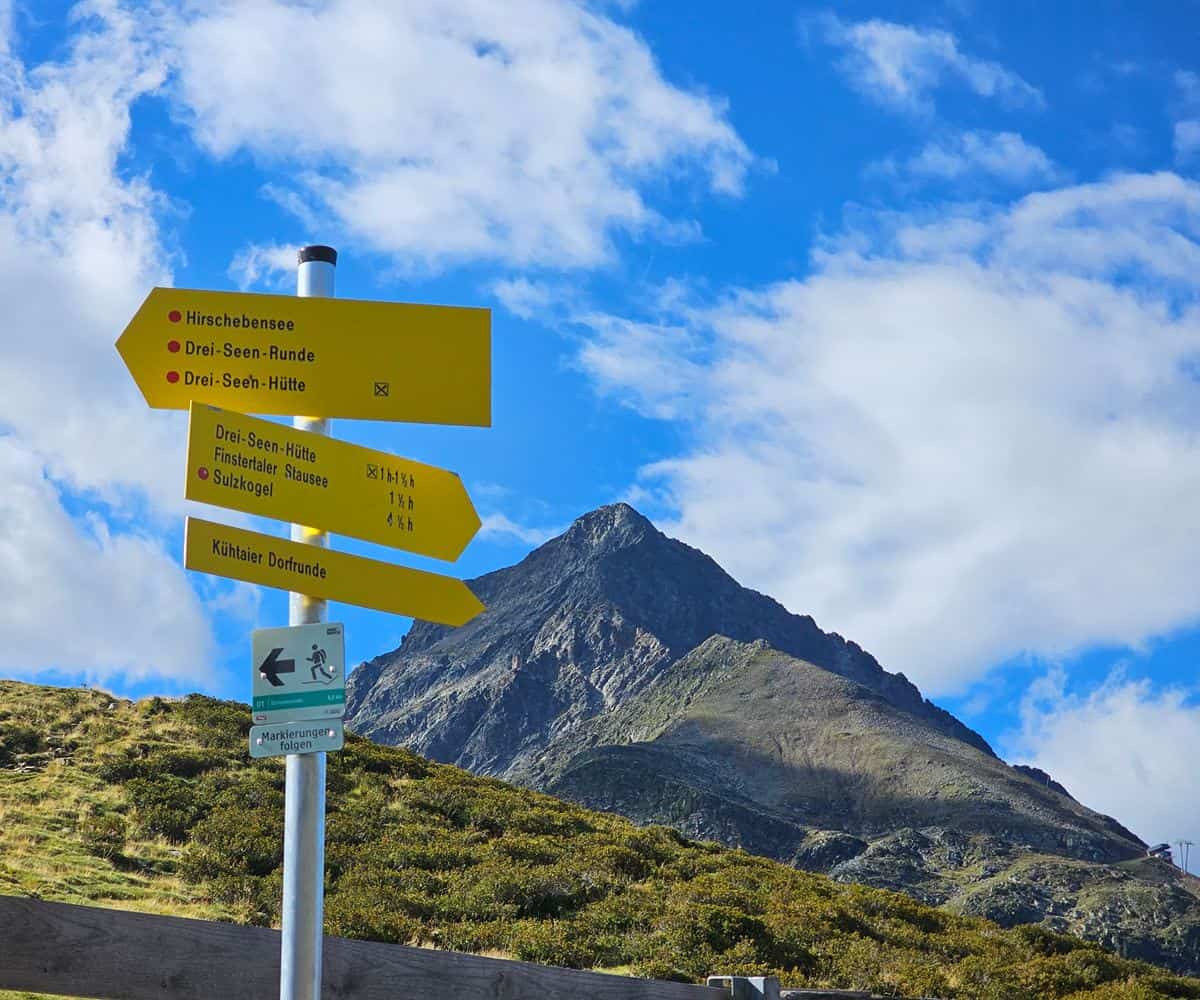
The route begins close to the roadside in Kühtai, where yellow hiking signs point onto the circular trail.
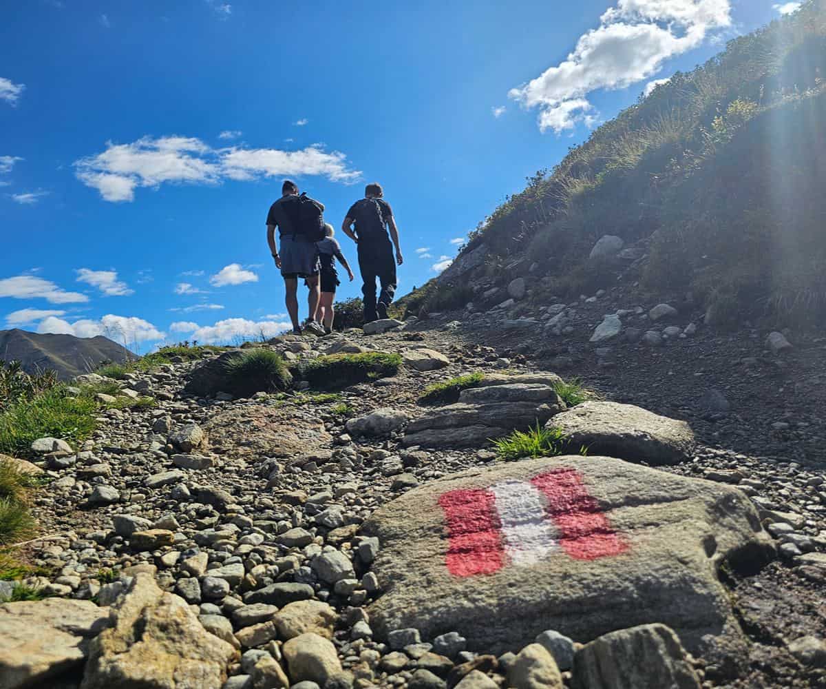
Waymarking is straightforward, with red-and-white trail blazes appearing along the path in the familiar Austrian style.
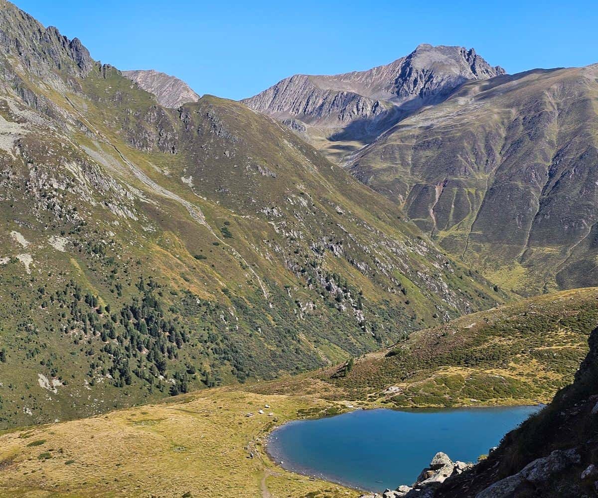
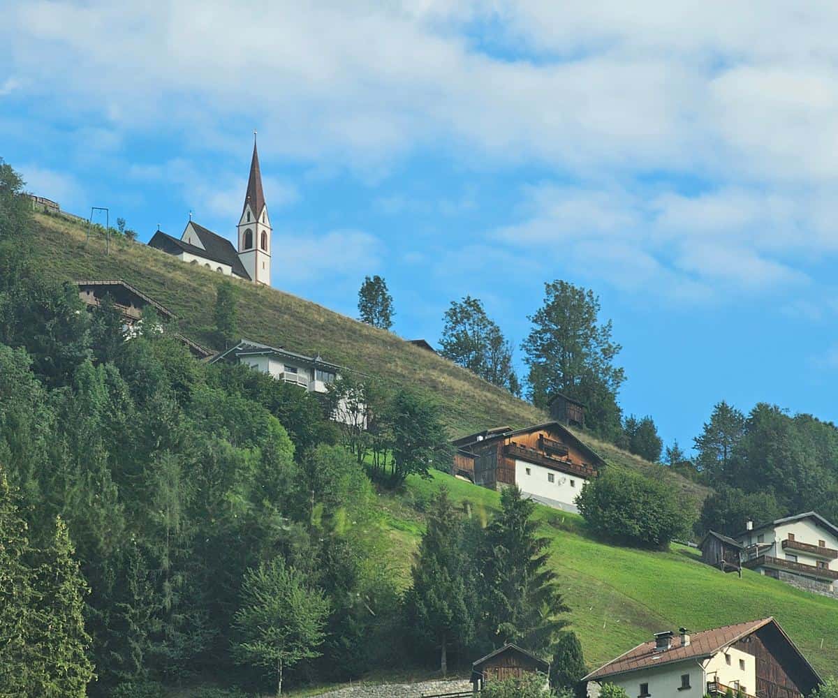
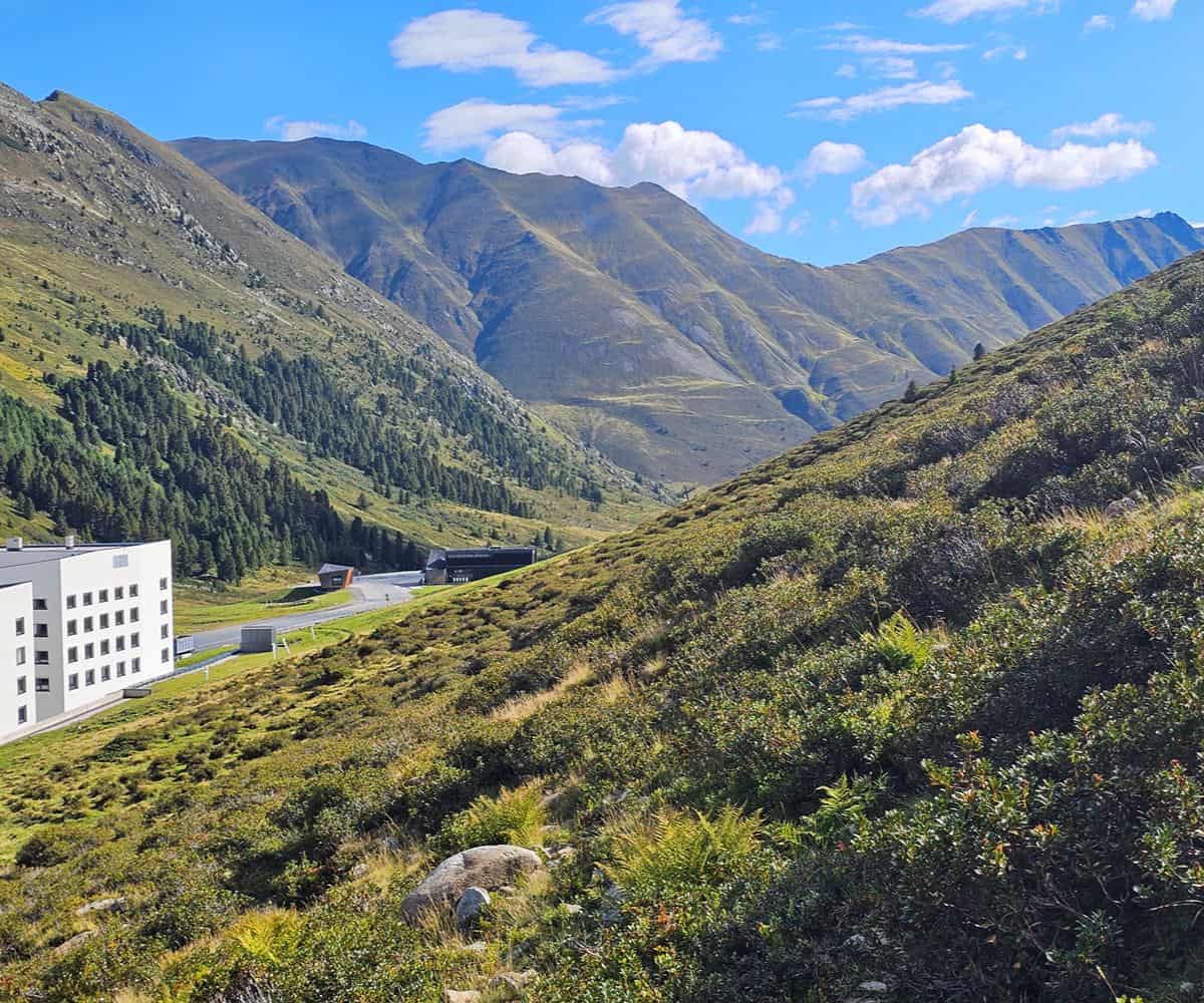
The climb soon gains enough height to open views along the Sellraintal valley, where the northern wall is dominated by the Rietzer Grieskogel ridge.
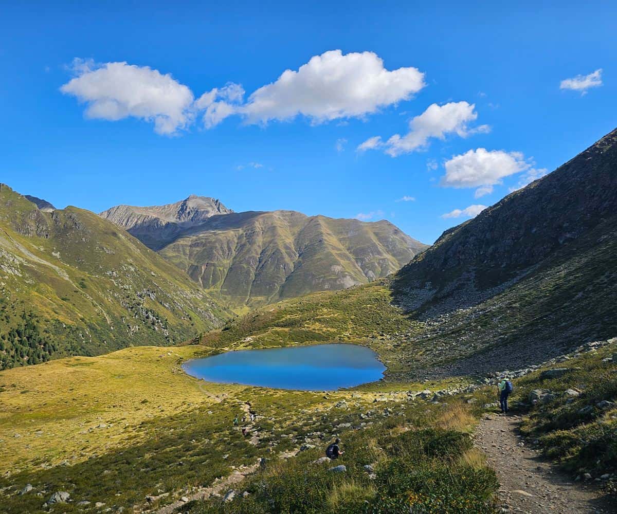
The first lake is Hirschebensee, an alpine tarn at 2,164 metres.
Its name translates as “lake of the deer plain”, reflecting an area historically associated with red deer.
From there, the path continues higher to Unterer Plenderlessee, also known as Lower Plenderlessee, at 2,311 metres.
The third lake, Oberer Plenderlessee, sits a little beyond at 2,344 metres and forms the highest point of the trio before the route turns back toward Kühtai.
The high-altitude flora is part of the pleasure of the walk, with alpine meadow plants such as Scheuchzer’s Bellflower, or Campanula scheuchzeri, found in rocky crevices and elevated grassland across the European Alps.
Drei-Seen-Hütte and the descent to Kühtai
Near Oberer Plenderlessee, Drei-Seen-Hütte sits at 2,311 metres and gives the circuit a natural pause point.
It’s well placed for a drink, a breather and a longer look at the surrounding peaks, with a play area adding practical appeal for families with younger walkers.
After the hut, the route rises briefly over a rocky crest before beginning the main descent.
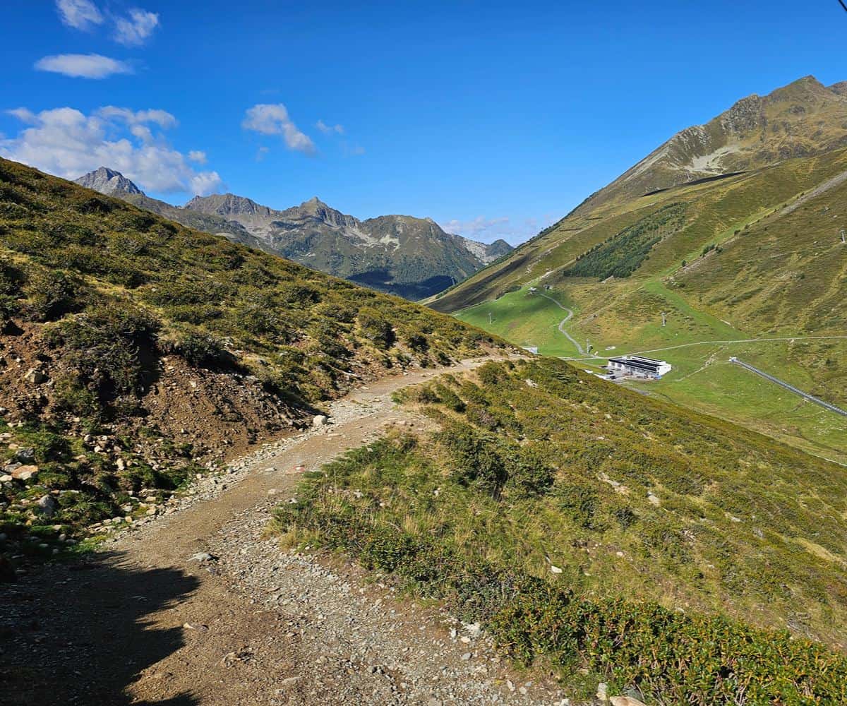
The way down is manageable, though parts are slightly more technical and call for steady footing rather than speed.
As the path drops back toward the resort, it passes near the Finstertal dam overview and then continues toward the valley floor.
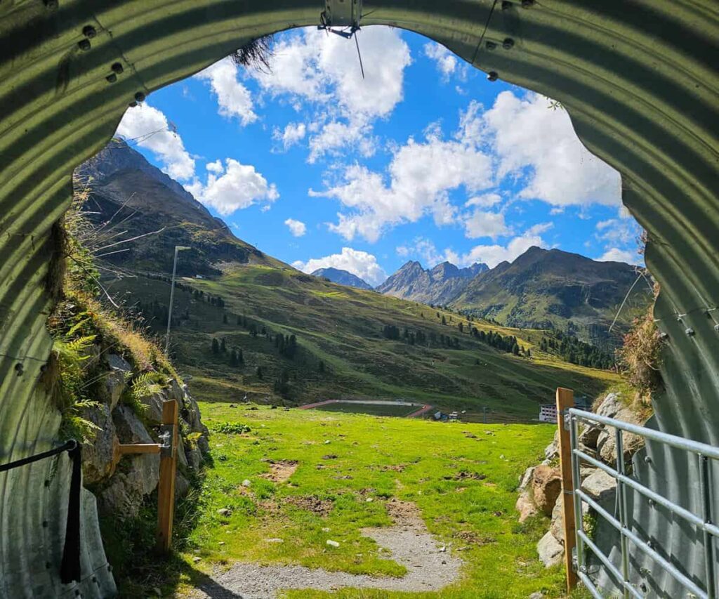
A short pedestrian tunnel marks one of the final stretches, framing the rugged mountain scenery neatly behind the walker before the trail returns to Kühtai.
Distance, timing and where to finish
A recorded GPS track for the circuit measured approximately 7 kilometres with roughly 300 metres of elevation gain.
Official guidebook timings commonly suggest allowing 3 to 3.5 hours, which fits comfortably with a relaxed stop at Drei-Seen-Hütte.
Fit walkers may complete the moving time in under 2.5 hours, but this is a route that rewards slowing down.
Back in Kühtai, Kühtaier Dorfstadl is an easy post-walk lunch stop, with a terrace marked by its bright multi-coloured cow statue.
The menu can make a neat transition from mountain path to comfort food, from poke bowls to the more traditional pleasure of Austrian apple strudel.
For Innsbruck visitors, the Three Lakes Circuit is a strong day out because it combines simple logistics, genuine altitude and a route that feels scenic from the first climb to the final descent.
It’s not a wilderness epic, and that’s precisely its charm: a polished, accessible Tyrolean mountain walk with enough height, water and rock to feel properly alpine.