The longitude story is usually framed by ships, oceans and John Harrison’s extraordinary marine timekeepers.
That version is true, but it’s not complete.
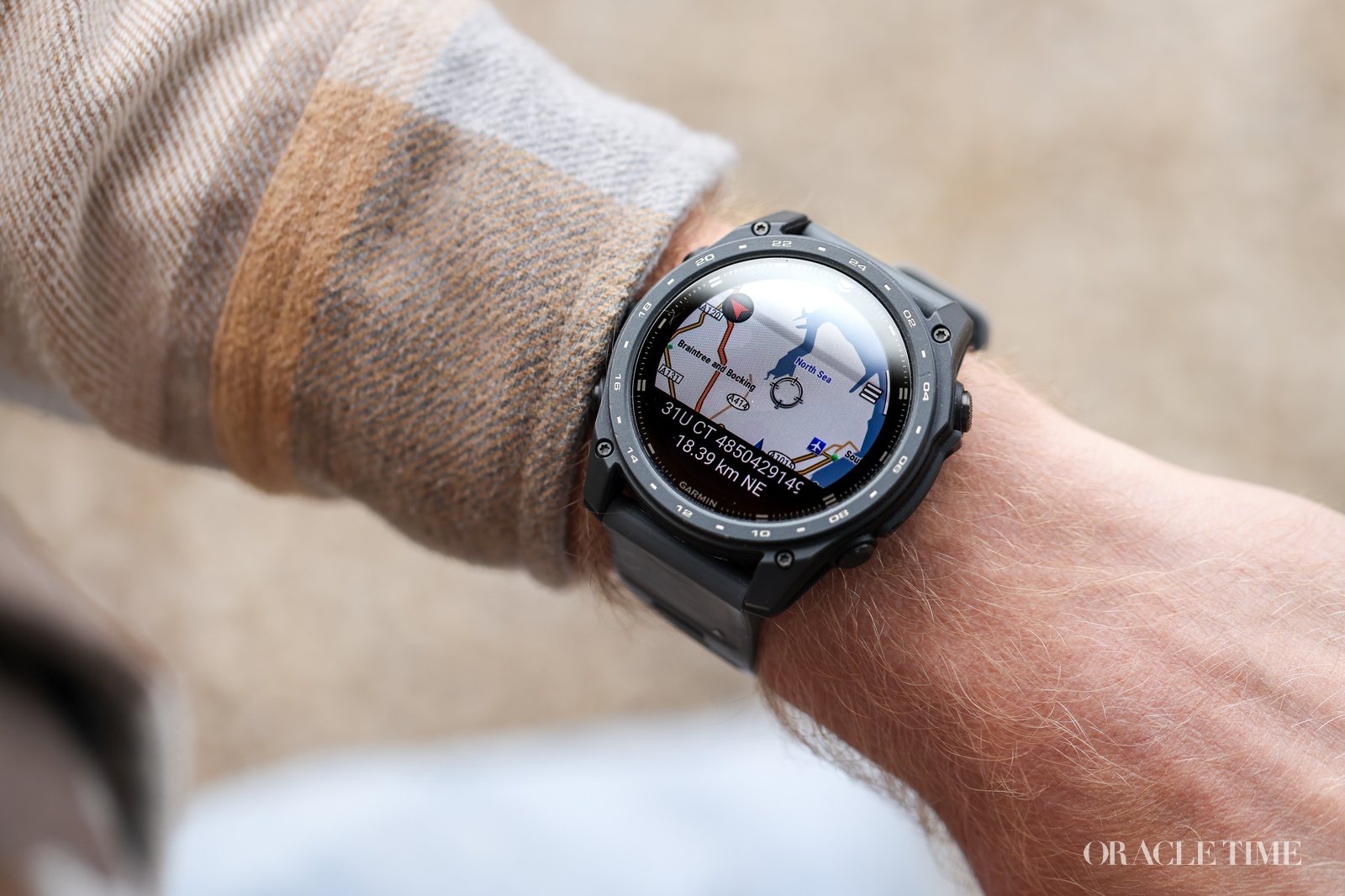
Long before GPS made position feel effortless, accurate time was one of the most practical tools for fixing a place on Earth, whether the observer stood on a ship’s deck, a church tower, a desert track or a survey station.
At a glance
- Chronometers and later wristwatches were central to determining longitude on land as well as at sea.
- Surveyors used portable precision timekeepers to carry known time from observatories into the field and compare it with local astronomical observations.
- The same time-and-distance logic later shaped military navigation, including Long Range Desert Group patrols in the Western Desert.
The land problem behind the longitude problem
A marine chronometer could only place a ship accurately if the reference points on land had already been fixed with confidence.
Observatories, harbours, coastlines and landmarks all needed reliable longitude before they could serve as anchors for navigation.
The principle was simple in outline and demanding in practice.
If an observer knew the time at a reference meridian and could establish local time through astronomical observation, the difference between the two revealed longitude.
That made time portable in a very literal sense.
A surveyor could set a chronometer against an observatory regulator, travel into the field, and carry a known time standard to a new point on the map.
In the 18th century, that method became part of a broader cartographic expansion.
William Roy’s work helped lay the foundations for the Ordnance Survey, David Thompson mapped vast areas of western Canada and the Pacific Northwest, and Count von Brühl travelled through Britain checking longitude points on foot.
Boxed chronometers and the making of modern maps
The instruments used on land were often the same family of boxed chronometers that served at sea.
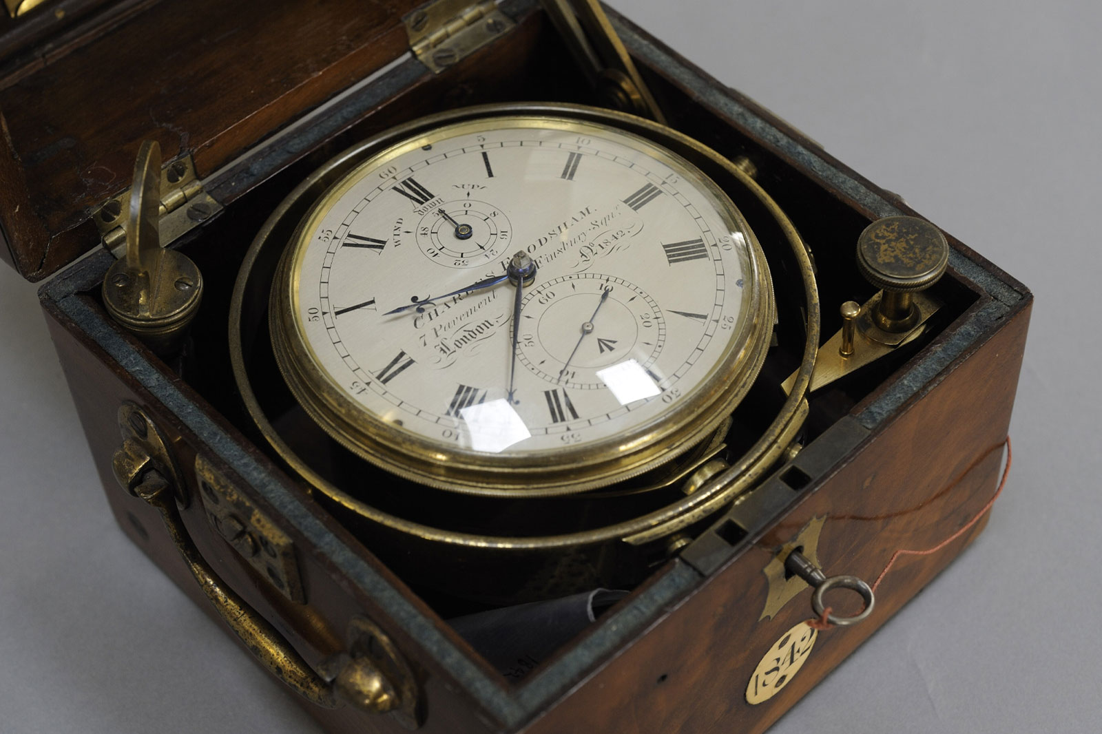
Mounted in three-tier wooden boxes with gimbals, they were designed to stay level and to keep running reliably through movement, vibration and long periods away from a fixed observatory.
For estate boundaries, national surveys and imperial cartography, that reliability changed what could be known with precision.
Without accurate time, the edge of a mapped territory was not simply vague on paper, it was uncertain in law, ownership and administration.
The scale of effort could be extraordinary.
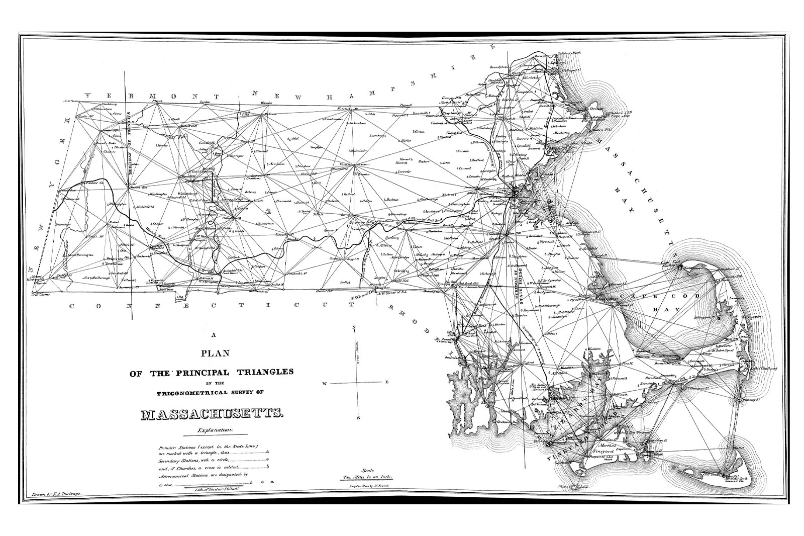
In 1846, Simeon Borden transported 38 chronometers between Boston and Pittsfield over 13 trips while surveying Massachusetts, all to determine the longitude of a single church.
One of the most evocative surviving examples is Charles Frodsham chronometer number 1842.
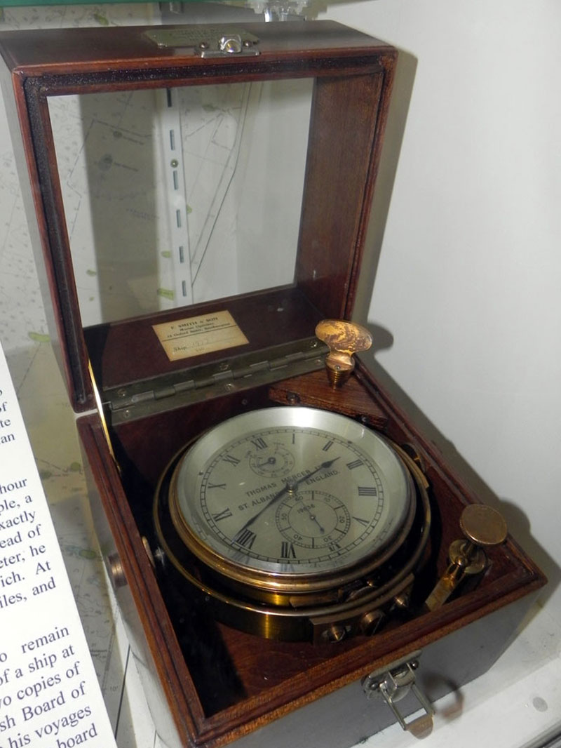
Purchased by the British Admiralty on 6 March 1841, it was issued to HMS Wilberforce for work on the River Niger during an anti-slavery mission through largely uncharted territory.
Nearly five decades later, on 4 April 1889, the same chronometer was reissued for an Admiralty Hydrographic survey of the west coast of England.
That later work updated bathymetric charts, mapped sandbanks and revised Sailing Directions for approaches to the Irish Sea and the Port of Liverpool.
Few objects make the durability of precision horology feel so concrete.
Here was a single timekeeper working across two continents, two climates and nearly half a century of surveying practice.
Thomas Mercer and the professional survey chronometer
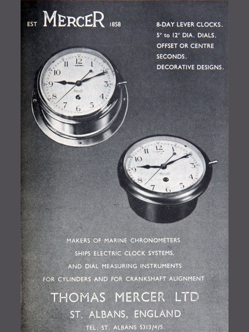
By the 20th century, Thomas Mercer of St Albans had become one of the defining names in survey chronometers.
The Admiralty continued to issue Mercer instruments for harbour and coastline surveys well into the modern age of precision fieldwork.
These were not decorative observatory relics.
Specialised survey chronometers could be rated to sidereal time, which measures Earth’s rotation against distant stars rather than the sun.
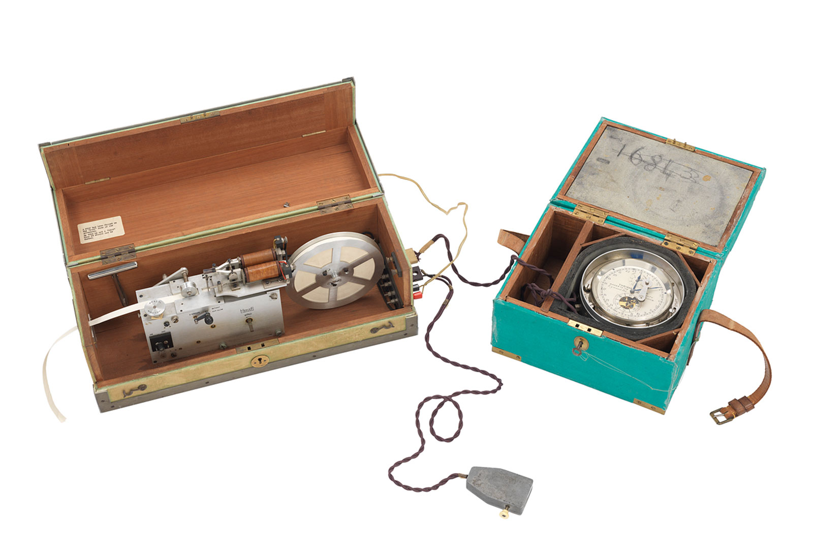
Some were also fitted with electrical contacts linking them to tape chronographs, creating a continuous record of the exact moment an astronomical sighting was made.
That combination of exact time and exact observation was the engine of longitude.
It was refined over centuries into a mature working system that quartz instruments and then GPS would only fully displace in the closing decades of the 20th century.
When the wristwatch entered the desert
The same navigational logic later migrated from boxed chronometers to wristwatches.
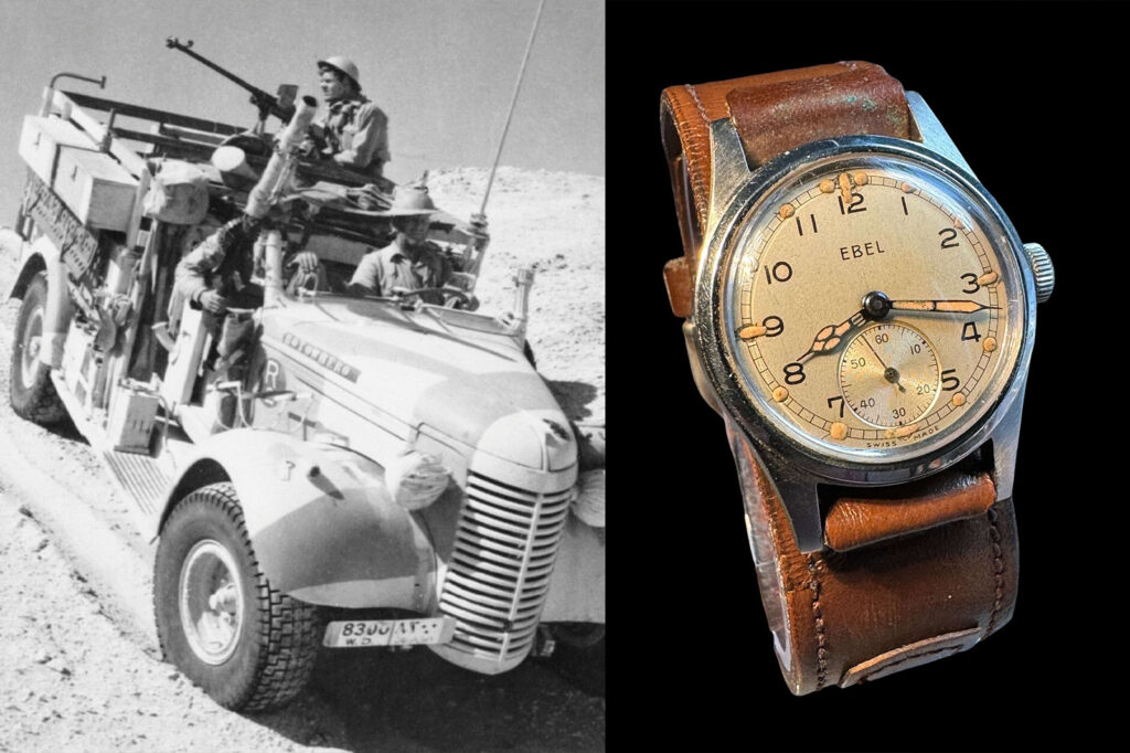
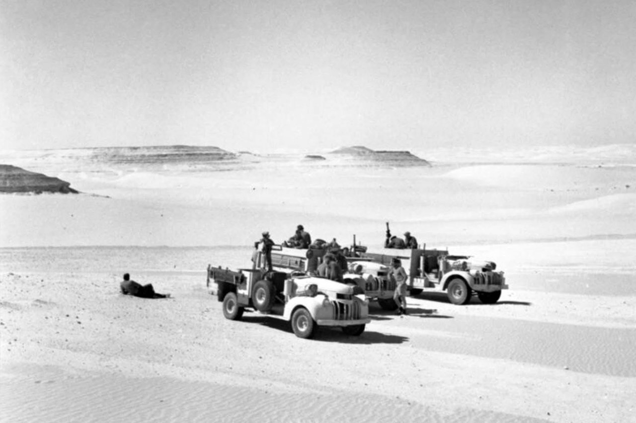
One of the clearest wartime examples is the Long Range Desert Group, which operated in the Western Desert between 1940 and 1943.
The LRDG carried out reconnaissance and raids across hundreds of miles of terrain where roads, landmarks and reliable maps were often absent.

Their navigation depended on discipline rather than drama.
Direction came from the sun compass, distance came from movement over ground, and time tied the calculation together.
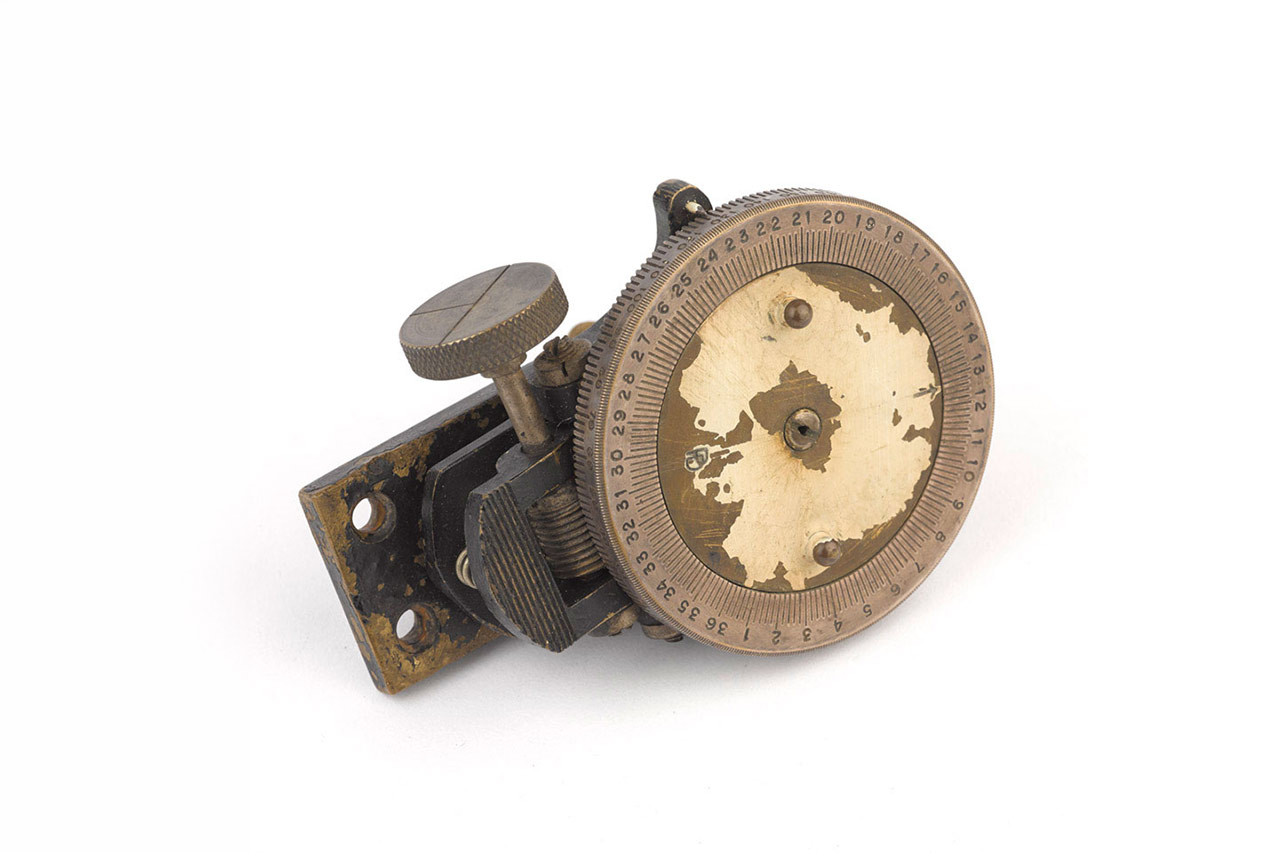
The Bagnold sun compass was particularly well suited to desert vehicles.
Unlike a magnetic compass, it was not confused by steel bodywork or metal equipment, and it worked by using a central gnomon to cast a shadow across a graduated bearing ring.
The navigator set local time and latitude, aligned the shadow with the sun’s position, and read a true bearing.
Distance was calculated through the vehicle rather than a surveyor’s stride.
LRDG navigators cross-checked the speedometer against elapsed time on a wristwatch, turning the old pace-counting principle into speed multiplied by time.
The vehicles changed as the campaign developed.
Early patrols used modified Chevrolet WA, WB and VA 30cwt trucks obtained from civilian dealers in Alexandria, alongside cut-down Ford C11ADF station wagons.
From March 1942, the group standardised on the Canadian-built Chevrolet 1533×2, the rugged 30cwt patrol truck now closely associated with the unit.
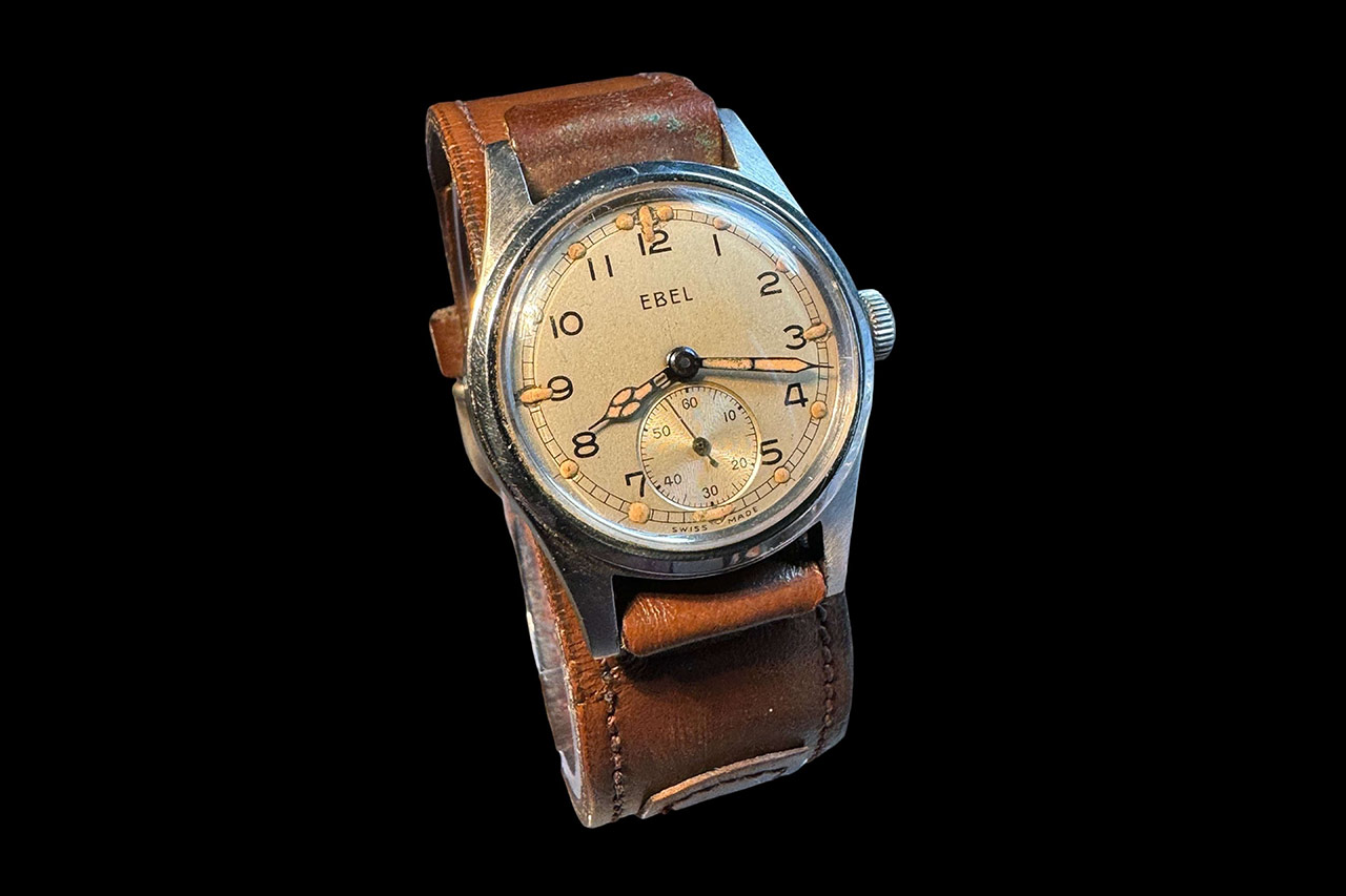
The wristwatch mattered because it made timing immediate, personal and visible in the cab.
LRDG men were likely encouraged to use their own watches, while evidence also points to the issue of more accurate pocket watches for navigation.
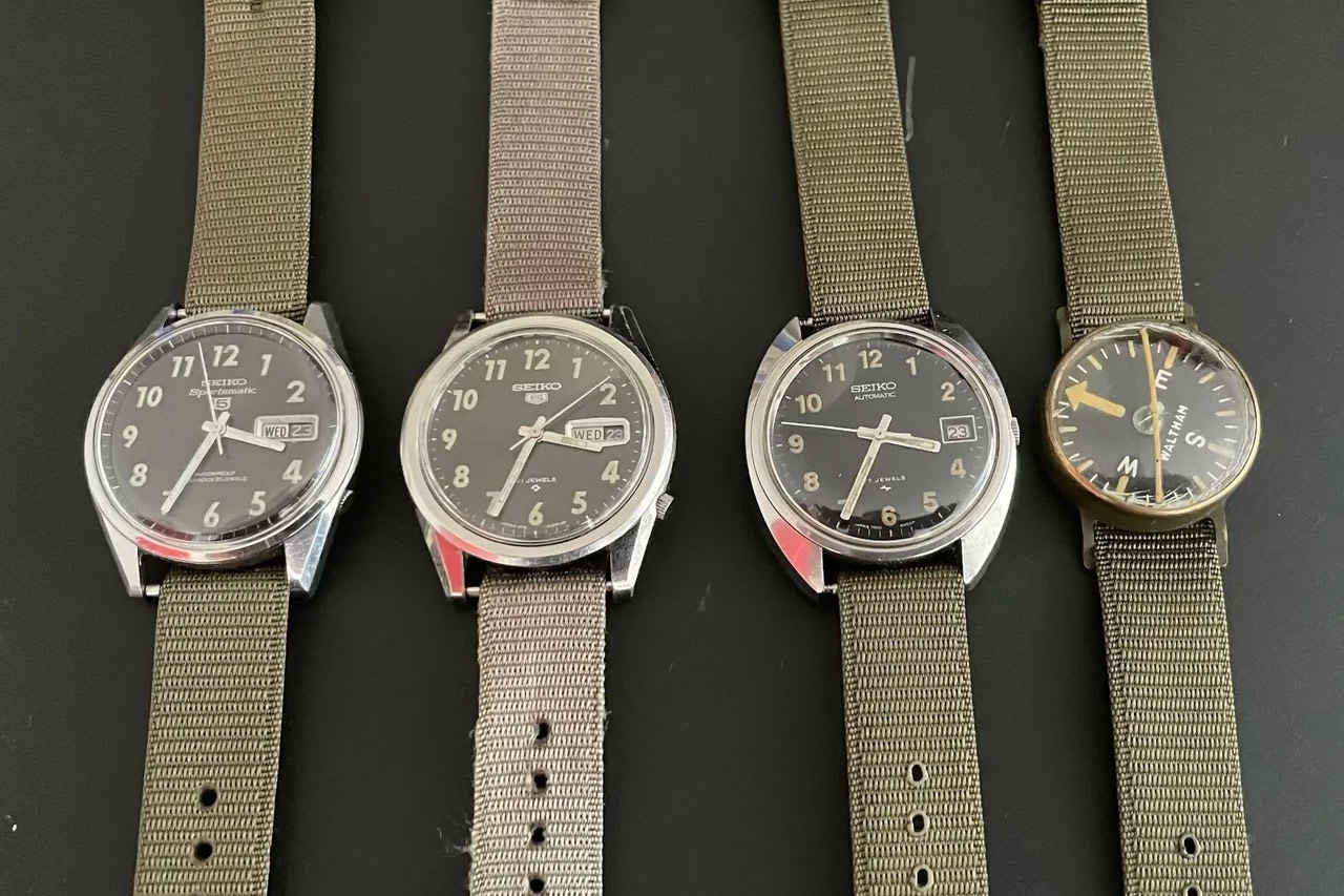
Army Trade Pattern watches, developed by the British War Office and issued from 1939, are often discussed in this context, though the broader point is larger than any single model.
In a landscape without signposts, a watch was part of the instrument panel of survival.
Timekeeping as a navigational instrument
The history of longitude is not only a tale of ships finding their way across oceans.
It is also the story of surveyors, soldiers and explorers turning measured time into measured space.
That makes the chronometer more than a milestone in watchmaking.
It was a working instrument that helped define borders, chart rivers, refine coastlines and cross hostile terrain.
For modern collectors, this is the deeper appeal of navigation watches and precision timekeepers.
The romance is not merely in patinated dials or military provenance, but in the idea that a reliable beat once carried position, authority and direction with it.